Martin Mokroš
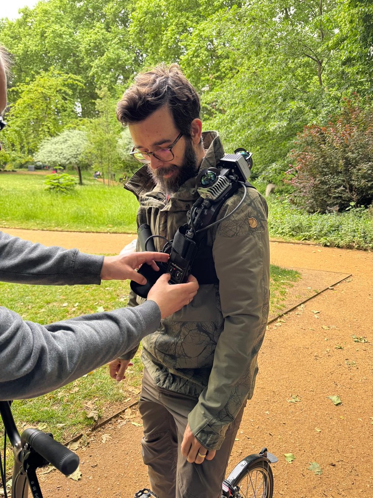
- Lecturer in Earth Observation UCL Geography
- ARIA Creator 3DTreePrint project
- Fellow National Centre for Earth Observation
- Chair, 2021–25 3DForEcoTech (COST Action)
- Award UCL Open Science & Scholarship, 2025
I build the tools that let us see forests in three dimensions and I care most about the moment someone who isn't a remote-sensing specialist can actually use them.
I'm a Lecturer in Earth Observation at UCL and a fellow of the National Centre for Earth Observation, and my work spans the whole 3D measurement pipeline: I design and build low-cost laser scanners, benchmark the sensors and software the field relies on, turn raw point clouds into forest structure, carbon and biodiversity, and use machine learning for problems like tree-species classification.
Right now I lead two projects and field works under 3DTreePrint (ARIA) across UK woodlands and Scanning Together (NCEO) in the tropics. Translating and scaling methods from national inventory plots to city streets to community forests in Madagascar. Around the research I supervise postdocs and PhD students, convene three UCL modules and train scientists at international summer schools, with 40+ papers, 3,000+ citations, and a stubborn commitment to open data, shared standards and reproducible tools.